- Solutions and Outcomes▼
- Technologies▼
- Projects▼
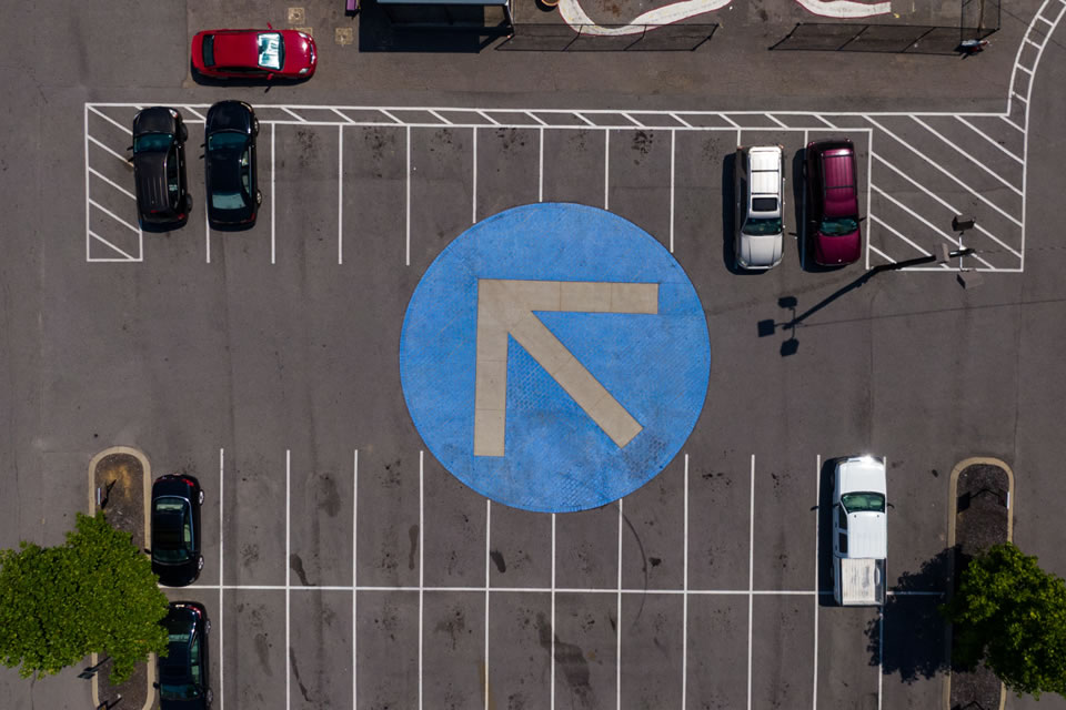
- Parking Guidance System▼
- Transforming the Parking Experience at Burnside Village, SA
- Lane Cove Council
- City of Parramatta Council
- Mosman Council
- Kananook Commuter Car Park
- Home HQ
- Norton Plaza
- Casuarina Square Shopping Centre
- Marina Square Shopping Centre
- Chatswood Place
- Dee Why RSL
- Prahran Square
- Cabra-Vale Diggers
- Brindabella Business Park, Canberra Airport
- South City Square, Brisbane
- Trafalgar Lane, Brisbane
- San Clinic Parkway
- Westpoint Blacktown
- Rowe St East Carpark Eastwood
- Bankstown Sports Club
- Constitution Place, Canberra
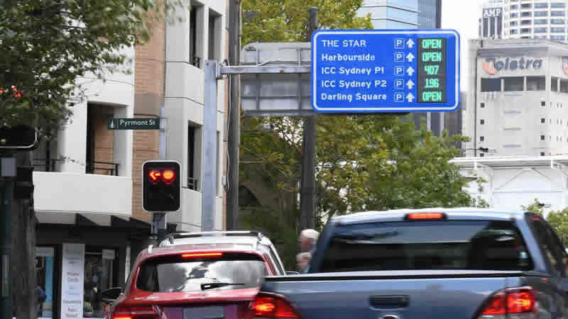
- Wayfinding Signage▼
- Northern Beaches Council
- Waverley Council
- Canberra Airport
- World Square
- Five Dock Square
- Bayside City Council Church St Precinct Signage
- Waverley Council Wayfinding Signage
- Northern Hospital Staff Car Park
- Casuarina Square Shopping Centre
- Chatswood Place
- Prahran Square
- Cabra-Vale Diggers
- Brindabella Business Park, Canberra Airport
- South City Square, Brisbane
- San Clinic Parkway
- Westpoint Blacktown
- Rowe St East Carpark Eastwood
- Bankstown Sports Club
- Constitution Place, Canberra
- Precinct Signage▼
- Solar Signage▼
- Area/Loop Counting▼
- Parking Guidance System
- Industries▼
- Gallery
- Our Sites
- Blog
- About▼
- Contact


Recent Comments